
Google Turns 1,000-Year-Old Ruins Into A 3D World You Can Roam
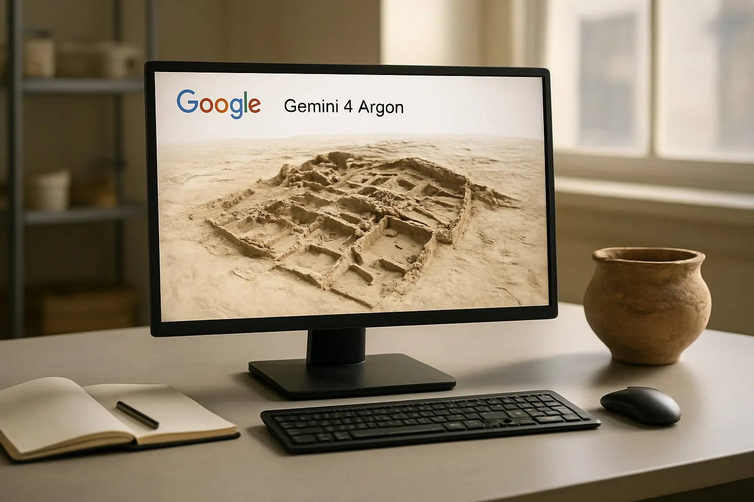
Google showed Gemini 4 Argon turning fragmented archaeological records, raw LiDAR scans and archives from Chaco Canyon at 1,000-Year-Old sites into an explorable 3D heritage site, suggesting smaller museums could automate costly modeling.
Key Takeaways
- Google showed Gemini 4 Argon turning fragmented archaeological records, raw LiDAR scans and archives into an explorable 3D heritage site around 1,000-Year-Old ruins
- Google released raw LiDAR scans and archives from Chaco Canyon for the project
- Gemini 4 Argon appears to synthesize fragments and assemble relationships between records to generate a navigable scene rather than summarizing a single file
- The demo suggests Gemini could automate part of the manual 3D modeling work smaller museums and research groups rely on
Google posted the demo on X and builds the Gemini family of multimodal AI models, which can work across text, images, audio, video and structured data rather than only written prompts.
The heritage site centers on Chaco Canyon, a cultural landscape the National Park Service documents through field records, ruins and preservation work.
Gemini 4 Argon Leaves The Chat Window
The post said Google released raw LiDAR scans and archives from Chaco Canyon for the project.
That matters because archaeology data is rarely tidy. A site can exist as broken maps, excavation notes, aerial scans and scattered images collected across decades by different teams.
Gemini 4 Argon appears to act as a synthesis layer across those fragments, assembling relationships between records to generate a navigable scene rather than merely summarizing a single file.
That is harder than document summarization because the system must line up different formats and infer where items belong in space.
LiDAR, short for light detection and ranging, measures distance by firing laser pulses and timing how long they take to bounce back.
Archaeologists use it to map terrain and ruined structures with high precision, even when features are hard to see from ground level.
Also Read: Google’s Gemini 4 Argon Matches Rival Costs, Runs Tasks 60% Cheaper
From Static Archives To A 1,000-Year-Old Walkable Record
Digital heritage projects have existed for years, but most require manual 3D modeling after data collection.
Google’s demonstration suggests Gemini is starting to automate part of that stitching work, which could let smaller museums and research groups produce usable reconstructions without large custom software budgets.
The timing also fits a larger race inside AI. Model companies need proof that multimodal systems can do more than talk.
Rebuilding a historical site from raw records gives Google a concrete example of AI as a working tool for research and preservation, not just consumer search.
This contrasts with earlier Gemini pushes into phones, vehicles and cloud software. Here, the output is a spatial object, the model organizes evidence into a place a human can inspect, not only generating language.
Also Read: ChatGPT, Gemini And 8 More As Artprice Takes On AI Over Cultural Data Rights
Archaeology Is A Hard Test For AI
Archaeology is a hard benchmark for AI because the data is incomplete by definition.
Records are often damaged, dating can be uncertain and gaps remain that no one can fully fill. That makes reconstruction less about fluency and more about evidence handling.
A 3D heritage site gives experts something they can challenge.
Researchers can inspect whether walls, paths or alignments match the scans and archives that went into the scene. That falsifiability is why these domain demos matter.
How LiDAR And Gemini 4 Argon Fit Together
Google’s Chaco Canyon demo joins two tools that solve different problems.
LiDAR captures shape and produces dense point clouds showing the geometry of walls, terrain and voids. Gemini 4 Argon handles interpretation across the messier inputs around that geometry, including notes, photos and archive text.
A laser scan does not tell you what a room was called in a field notebook, when a survey was done or how one excavation record relates to another.
A multimodal model can help connect those records into a usable working map. For museums, tribal authorities and researchers managing fragmented collections, Google is testing whether AI can reduce the manual labor between data capture and public presentation.
Read Next: AT&T Hands Workers Faster Legal Answers With OpenAI Tool